
Wootton
What were the issues?
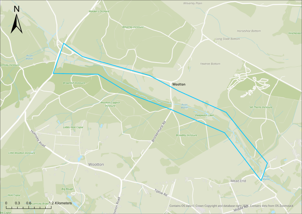
Around 1860, at a time when commercial conifer plantations began in the New Forest, the River Avon was straightened leading to ever-increasing erosive energy incising the channel bed in Wootton Inclosure.
At some points, the channel bed reached up to two metres deep. It got to the point where restoration was unavoidable.
What's being done
A two-phase restoration project at Wootton between 2016 and 2019 infilled drainage channels, removed side drains, reinstated meanders and created a new stock crossing, using a combination of clearance and full reprofiling to restore the river’s natural course.
Monitoring has since shown improved natural functioning, greater habitat diversity and stronger floodplain interaction, with a 2025 report by Footprint Ecology concluding the work has slowed flows, enhanced wooded floodplain habitat, maintained high water quality and potentially reduced downstream flood risk.
'The flow has slowed, and more water is being held upstream, potentially decreasing the likelihood and severity of downstream flooding...the floodplain Alder Moor, in particular, appears to have become more structurally diverse due to the changes in hydrology'
Extract from Footprint Ecology's 2025 report